
Sajama National Park
Bolivia
Sajama is a park of volcanoes, hot springs and llama pastures on the high plateau of western Bolivia, in the department…
2 tickets & tours
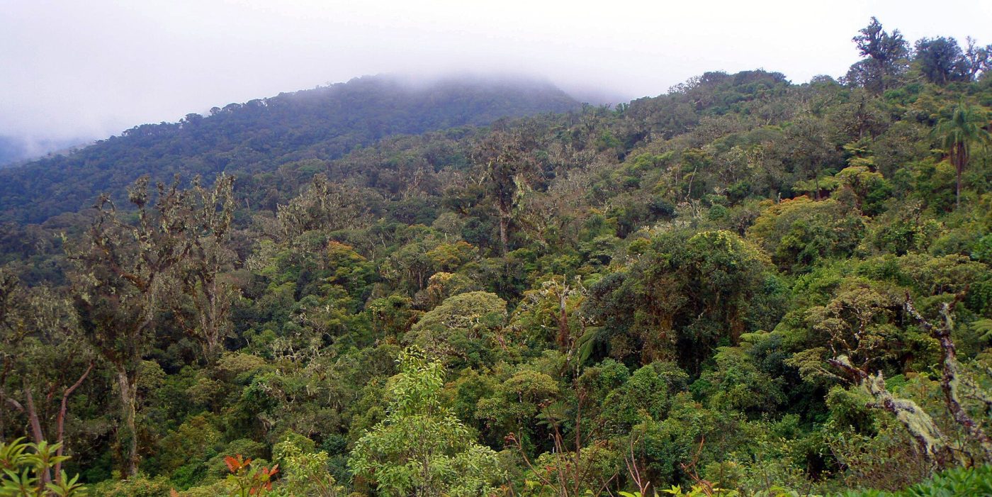
Photo: Ángel M. Felicísimo, CC BY-SA 2.0
Amboró lies in the elbow of the Andes west of Santa Cruz de la Sierra, Bolivia's lowland boom city, and it is a big, rugged, roadless park with two sides that are visited from two different bases, for two different experiences. The south side is approached from Samaipata, a pleasant small town at 1,650 metres, two and a half to three hours from Santa Cruz on the old Cochabamba road: its agencies run day hikes, with transport by 4×4 to the trailhead at La Yunga or Los Volcanes, into the cloud forest to see the giant tree ferns, some of them ten metres tall and centuries old, which is the classic Amboró walk, three to five hours, easy to moderate, in cool, misty, mossy forest, and longer treks of two to four days for condors, spectacled-bear country and viewpoints.
The north side is approached from Buena Vista, a quiet village two hours from Santa Cruz on the new road, and it is hot, humid lowland and foothill rainforest: the tours there, of one day or, much better, two or three, cross the Surutú river by 4×4 or on foot, in the dry season only, to the community-run cabins at La Chonta, Mataracú or Villa Amboró, for walks to waterfalls and swimming holes, monkeys, macaws at a clay lick, tapir tracks and superb birdwatching. Day trips from Santa Cruz itself go to Espejillos, a series of waterfalls and pools in the buffer zone, popular with local families. By park regulation visitors must be accompanied by a registered guide, and independent entry is not practical in any case, since there are no signs and no bridges.
Live dates and prices from GetYourGuide. Free cancellation on most tickets.
The park was first protected in 1973 as a reserve named for the German-Bolivian naturalist Noel Kempff Mercado's predecessor in the cause, and was declared a national park in 1984, largely through the efforts of Kempff and the British zoologist Robin Clarke; it was much enlarged in 1991 and then, under pressure from settlers, reduced in 1995 to a core of 4,425 square kilometres surrounded by a managed-use zone of nearly 2,000, in which farming communities live. It adjoins the Carrasco National Park to the west, and the two form one block of forest. Amboró's importance is its position, at the exact point where the eastern chain of the Andes bends, and where three great ecosystems meet, the Amazon basin, the northern Chaco and the Andean yungas, across a range of altitude from 300 to 3,300 metres, with deep canyons, sandstone table mountains, the spire of Cerro Amboró and rivers that change from dry gravel beds to torrents in an hour.
The consequence is one of the greatest concentrations of biodiversity on record for an area of its size: more than 830 species of birds have been listed, among the highest counts for any protected area in the world, including the horned curassow, which is nearly confined to this region, the military macaw, the Andean cock-of-the-rock, quetzals, cotingas and a host of tanagers; and among 170 or more mammals, the spectacled bear in the cloud forest, the jaguar, puma and ocelot, giant anteaters, tapirs, peccaries, and spider, howler and capuchin monkeys. Some 3,000 plant species have been identified, with mahogany, giant ferns of the genus Cyathea and Alsophila in the high, wet ravines, bamboo, palms and countless orchids. Settlement, coca cultivation, logging and hunting press on the boundaries, as the line on the map, literally called the red line, records.
Tours run all year on the south side and in the dry season on the north. May to October is the dry season and the time to go, with cool, sometimes cold, days when the surazo, the southerly wind from Patagonia, blows, and rivers low enough to ford; the rains, from November to March or April, make the northern rivers impassable for days, turn the tracks to mud and bring out mosquitoes and sandflies, though the south side's fern forest remains walkable and is at its most atmospheric.
Bring repellent, long sleeves and boots that can get wet. Allow a day from Samaipata, three days from Buena Vista. Samaipata's pre-Inca carved rock of El Fuerte, a World Heritage Site, is the obvious companion, the Che Guevara trail at La Higuera lies further south, and Santa Cruz has the international airport.
Yes. GetYourGuide lists 5 tickets and tours for Amboró National Park, with live dates and prices and free cancellation on most of them.
Allow a day from Samaipata, three days from Buena Vista.
Amboró National Park covers 4 425 km².
Amboró National Park was established in 1984.
Amboró National Park is in Bolivia. The map on this page shows the exact spot.
Bolivia
Sajama is a park of volcanoes, hot springs and llama pastures on the high plateau of western Bolivia, in the department…
2 tickets & tours
Bolivia
Noel Kempff Mercado lies in the far north-east of the Bolivian department of Santa Cruz, on the border of Brazil, one…
No online ticket
