Yangmingshan National Park
114 km away
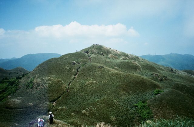
Yangmingshan is the volcanic massif on the northern edge of Taipei, so close that city buses climb into it from the…
6 tickets & tours

Photo: Tommy.In, CC BY-SA 3.0
Taroko, on the east coast of Taiwan, is the island's most celebrated natural sight, a gorge nineteen kilometres long that the Liwu river has cut through mountains of solid marble, with walls rising sheer for hundreds of metres above a road tunnelled and ledged into the rock. Before anything else, however, the visitor must know that on 3 April 2024 a powerful earthquake, the strongest to strike Taiwan in a quarter of a century, with its epicentre just off the coast near by, caused immense rockfalls throughout the gorge, killed a number of people on its trails and road, and destroyed or buried long stretches of paths, tunnels and bridges; the park was closed, and although the highway has been reopened to through traffic at fixed times and a few sites near the entrance have been made accessible again, most of the famous trails remained shut long afterwards, some for years, and the present position must be checked on the park's website before any plan is made.
In normal times the gorge is visited from the city of Hualien, which is reached from Taipei in two to two and a half hours by express train along the coast, tickets for which sell out early, or by a short flight; the park entrance is about forty minutes north of the city, and visitors use tourist shuttle buses, hired scooters or cars, taxis or day tours, some of them from Taipei. Entry is free. The road through the gorge, the beginning of the Central Cross-Island Highway, leads past the Eternal Spring shrine, built over a waterfall, the Shakadang trail, along a side stream of vivid blue, the Swallow Grotto, where the gorge is at its narrowest and helmets are lent to walkers, the Tunnel of Nine Turns, the Cimu bridge, and the village of Tianxiang, with a temple and pagoda, beyond which the Baiyang trail leads through tunnels to a cave where water pours from the roof. The Zhuilu old trail, a ledge on a cliff five hundred metres above the river, required a permit booked well ahead.
Live prices from GetYourGuide for tours whose route includes this park. Free cancellation on most of them.
A national park was first declared here by the Japanese colonial government in 1937, was abolished after the war, and was re-established in November 1986, covering 920 square kilometres, from the Pacific shore to summits of more than 3,700 metres on the central range, within a horizontal distance of some forty kilometres. Taiwan stands on the boundary of two tectonic plates, which are colliding at a rate of several centimetres a year, and its mountains are among the youngest and fastest rising on earth, being pushed up by about half a centimetre annually; the Liwu river, short, steep and swollen by typhoons, has kept pace by cutting downwards through them, which explains a gorge so deep and so narrow. The rock it has cut through is marble, limestone laid down on a tropical sea floor some two hundred and fifty million years ago and transformed by heat and pressure, grey, white and veined, so hard that the walls stand vertical and in places overhang, and polished by the water to a smooth lustre; the supply of it is said to be the largest in the world, and it is quarried outside the park. North of the gorge's mouth, the mountains meet the ocean in the Qingshui cliffs, which drop almost sheer for up to eight hundred metres into the Pacific for a distance of twenty-one kilometres, the coastal highway threading them by tunnels and ledges. The gorge is the homeland of the Truku, one of the indigenous Austronesian peoples of Taiwan, recognised as a distinct group in 2004, whose name, given to the place, is usually explained as meaning magnificent and beautiful;
formidable hunters, weavers and, formerly, head-hunters, whose men and women wore facial tattoos, they resisted the Japanese for eighteen years until a military campaign of 1914, which deployed many thousands of troops against them, and they were afterwards moved down from their mountain villages to the plain, where they live today. The Japanese cut the first paths into the gorge, for the police and for the exploitation of timber and gold, of which the Zhuilu trail is a remnant. The present road was built between 1956 and 1960, as a strategic link across the island, by some ten thousand men, most of them soldiers of the Nationalist army that had retreated from the mainland in 1949, who worked with hand tools and dynamite on the cliff faces, and of whom more than two hundred were killed by accidents, landslides and typhoons; the Eternal Spring shrine was built in their memory, and has itself been destroyed by rockfalls and rebuilt. The range of altitude gives the park every climate from subtropical to alpine, with broadleaved forest, cypress and hemlock, fir and, on the highest peaks, dwarf juniper and meadows, and it shelters the Formosan rock macaque, which is often seen beside the road, the Formosan black bear, the serow, Reeves's muntjac, the Swinhoe's pheasant and the Mikado pheasant, both found only in Taiwan, and a great variety of butterflies.
When the park is open, it can be visited all year. The best seasons are autumn, from October to December, which is the driest, clearest and most stable, and spring, from March to May, with mild temperatures of 18 to 25 degrees. Summer is hot and humid, and from July to September typhoons strike the east coast, bringing torrential rain, landslides and the closure of the road and trails for days;
heavy rain and earthquakes at any season loosen rocks, and falling stones are the constant hazard of the gorge, which is why helmets are provided and should be worn, and why one should not linger beneath the cliffs. Winter is cool, often drizzly, with snow on the high peaks. Weekends and the Chinese New Year holiday are crowded. Book train tickets to Hualien as soon as sales open, two to four weeks ahead. Allow a full day, two with a long trail. Hualien, its night market, the Qixingtan pebble beach and the East Rift valley are the other sights of the area.
114 km away
Yangmingshan is the volcanic massif on the northern edge of Taipei, so close that city buses climb into it from the…
6 tickets & tours
259 km away
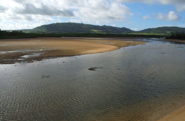
Iriomote-Ishigaki National Park covers the Yaeyama islands, the southernmost inhabited islands of Japan, which lie in…
1 ticket or tour
Yes. GetYourGuide sells tickets and guided tours whose route includes Taroko National Park; live prices are shown on this page.
When the park is open, it can be visited all year.
Allow a full day, two with a long trail.
Taroko National Park covers 920 km².
Taroko National Park was established in 1986.
Taroko National Park is in Taiwan. The map on this page shows the exact spot.
Taiwan
Yangmingshan is the volcanic massif on the northern edge of Taipei, so close that city buses climb into it from the…
6 tickets & tours