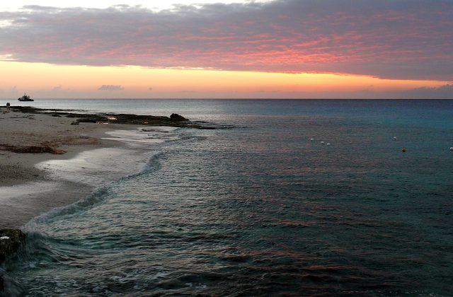
Arrecifes de Cozumel National Park
Mexico
The reefs of Cozumel, off the Caribbean coast of the Yucatan peninsula of Mexico, are among the most celebrated diving…
75 tickets & tours

Photo: Jakub Hejtmánek, CC BY-SA 3.0
Iztaccihuatl and Popocatepetl, the second and third highest mountains of Mexico, stand side by side on the eastern rim of the valley of Mexico, in full view, on a clear day, of both the capital and the city of Puebla, and the national park that covers their upper slopes is reached from Mexico City in about an hour and a half to two hours by road, by way of the market town of Amecameca, sixty kilometres to the south-east. From Amecameca a paved road climbs twenty-five kilometres in curves through pine forest to the Paso de Cortes, the broad saddle between the two volcanoes at about 3,700 metres, where there are a visitor centre, a car park, toilets and food stalls, and where the park fee is paid and visitors register; access is by numbers, and at weekends and in the holiday seasons a place should be reserved in advance through the parks commission. A rougher road comes up from the Puebla side, by Cholula.
Popocatepetl, which has been in eruption since 1994, is strictly closed, with an exclusion zone of twelve kilometres round its crater, and it is admired from the pass, often with a plume of gas and ash rising from its summit. Everything else concerns Iztaccihuatl. For most visitors the outing consists of the drive, the view, a picnic and a walk of an hour or two in the cold, thin air along the tracks that lead from the pass through the tussock grassland. Those who want more continue eight kilometres along a dirt road to La Joya, at 3,950 metres, the trailhead for the mountain, from which a well-trodden path climbs steeply to the first passes on the ridge and to a small metal refuge at about 4,750 metres, a serious day's walk. The full ascent, by the long ridge called the Arista del Sol, takes ten to twelve hours there and back, or two days with a night at the hut, and although it is not technically difficult it demands acclimatisation, and in the colder months crampons and an ice axe; guided climbs are sold in Mexico City and Amecameca.
Live dates and prices from GetYourGuide. Free cancellation on most tickets.
The national park was declared in 1935 and, with the adjoining forest area of Zoquiapan, covers about 400 square kilometres in the states of Mexico, Puebla and Morelos, on the crest of the Sierra Nevada, part of the belt of volcanoes that crosses the country from sea to sea. Popocatepetl, 5,426 metres, whose name means the smoking mountain in Nahuatl, is a steep, symmetrical cone with a crater some eight hundred metres across, and one of the most closely watched volcanoes in the world, since about twenty-five million people live within a hundred kilometres of it. After half a century of quiet it awoke in December 1994, and it has since produced an almost continuous series of explosions, lava domes that grow and are blown apart, and columns of ash that from time to time close the airports of Mexico City and Puebla; a traffic-light system of alerts, which has stood at yellow for most of these years, governs the evacuation plans of the villages on its flanks, and its small glaciers have melted away. Iztaccihuatl, 5,230 metres, the white woman, is an older, extinct, deeply eroded volcano with a long, snowy crest whose outline, seen from the valley, is that of a woman lying on her back under a sheet, and whose successive summits are named accordingly the head, the chest, the knees and the feet. The legend, in its most familiar form, makes her a princess, promised to the warrior Popocatepetl if he returned victorious from a war;
a rival sent false word of his death, she died of grief, and the returning hero carried her body to the mountains, laid it on a bier and knelt beside it with a smoking torch, where the gods covered them both with snow. The mountains were sacred to the peoples of the valley, who built shrines to the rain god high on their slopes, and ritual specialists from the surrounding villages still climb to certain caves each May to ask the volcano, whom they address familiarly as Don Goyo, for rain. In November 1519 Hernan Cortes and his small army, marching from Cholula towards the Aztec capital, crossed the saddle that bears his name and had from it their first sight of the lake and cities of the valley of Mexico; one of his captains, Diego de Ordaz, climbed Popocatepetl, then in eruption, to the astonishment of the Indians, and later expeditions were lowered into the crater to collect sulphur for gunpowder. Iztaccihuatl's glaciers have dwindled to remnants, and one of them, the Ayoloco, was formally declared extinct, with a plaque placed on the rock in 2021. The forests, of sacred fir, and above them of Hartweg's pine, which here forms, at four thousand metres, some of the highest pine woods on earth, give way to a grassland of tall tussocks, the home of the volcano rabbit or teporingo, a tiny, short-eared rabbit that lives only on a few mountains round the valley of Mexico and is in danger of extinction. The snows and forests of the park supply water to millions. The sixteenth-century monasteries on the lower slopes of Popocatepetl form a separate World Heritage Site.
The park is open daily, generally from about 7 am to late afternoon, but it is closed without notice when the volcanic alert is raised, so the status should be checked on the day. The dry season, from November to March, brings clear, cold, stable weather, with brilliant views, frost every night and temperatures at the pass between minus five and ten degrees, and it is the season for climbing, the snow on Iztaccihuatl being firmest from December to February.
From June to September it rains or hails almost every afternoon, with thunderstorms and lightning, which are dangerous on the exposed ridge, and the summits are hidden in cloud by late morning, though the dawn is often clear. Weekends bring large numbers of families from the capital, and a fall of snow brings thousands. The altitude affects nearly everyone arriving from sea level, so spend some days in Mexico City first, walk slowly and drink water. Go in a group or with a guide on the higher routes, and bring warm, windproof clothing and sun protection. Allow a day. Amecameca and its hilltop sanctuary lie at the foot, Cholula and Puebla an hour and a half to the east.
Yes. GetYourGuide lists 6 tickets and tours for Iztaccihuatl-Popocatepetl National Park, with live dates and prices and free cancellation on most of them.
The park is open daily, generally from about 7 am to late afternoon, but it is closed without notice when the volcanic alert is raised, so the status should be checked on the day.
Iztaccihuatl-Popocatepetl National Park covers 398 km².
Iztaccihuatl-Popocatepetl National Park was established in 1935.
Iztaccihuatl-Popocatepetl National Park is in Mexico. The map on this page shows the exact spot.
Mexico
The reefs of Cozumel, off the Caribbean coast of the Yucatan peninsula of Mexico, are among the most celebrated diving…
75 tickets & tours
Mexico
Puerto Morelos is the fishing village between Cancún and Playa del Carmen whose reef, part of the Mesoamerican barrier…
45 tickets & tours
Mexico
Ría Lagartos is the flamingo lagoon on the northern tip of Yucatán, two hours from Valladolid and three from Cancún or…
28 tickets & tours
Mexico
Los Arcos are the granite islets with the arches off Mismaloya, twelve kilometres south of Puerto Vallarta, and the…
16 tickets & tours
Mexico
Cabo Pulmo is a village of a few hundred people on the East Cape of Baja California Sur, on the Gulf of California,…
8 tickets & tours
Mexico
The monarch butterflies of eastern North America spend the winter in a few patches of high fir forest on the border of…
6 tickets & tours


