Los Haitises National Park
Dominican Republic
Los Haitises is the mangrove and karst park on the southern shore of Samaná Bay in the north-east of the Dominican…
107 tickets & tours
Marine Park · Dominican Republic
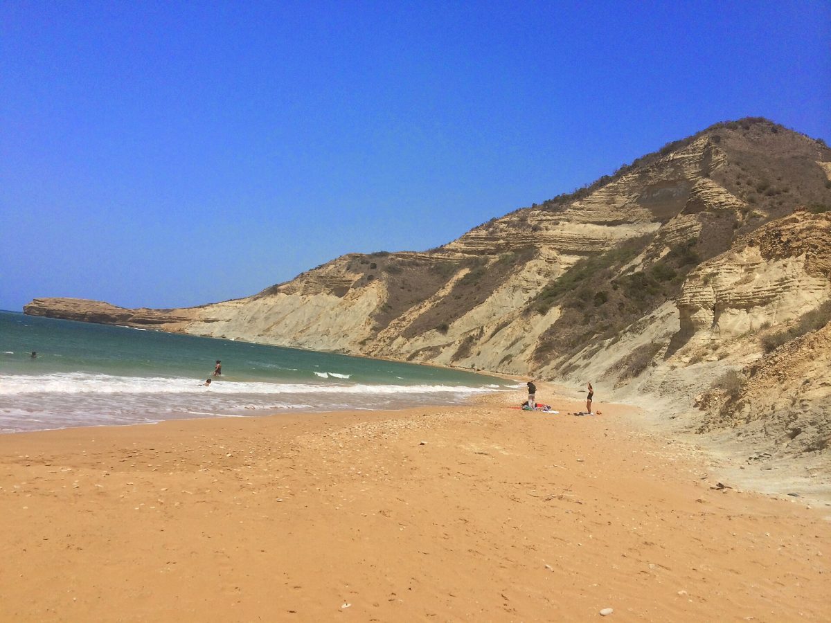
Photo: Joel Diplan, CC BY 3.0
Monte Cristi lies in the far north-west of the Dominican Republic, close to the Haitian border, a dry, sun-struck corner of the country about two and a half to three hours by road from Puerto Plata and its hotels and four from Santo Domingo, and it sees few foreign visitors, which is a large part of its appeal. The national park, which is really a group of protected areas along some fifty kilometres of coast, is visited in two ways, usually combined in one day. The first is on foot: a road runs from the town of San Fernando de Monte Cristi, five minutes away, to the foot of El Morro, the great flat-topped headland that is the emblem of the region, where a wooden staircase, in uncertain repair, climbs towards the top for a view over the coast and the cays, and a path leads down to the small, steep-sided beach of Playa Detrás del Morro, reddish sand beneath ochre cliffs, with rough water.
The second is by boat: fishermen and small operators on the town's waterfront, at the Club Náutico and at Playa Juan de Bolaños, take visitors for two to three hours through the channels of the mangrove forest, where a swimming stop is made in a natural pool among the roots, out to a sandbank in the shallow sea, and along the foot of El Morro; longer trips go to the Cayos Siete Hermanos, a full day, for snorkelling on reefs that few people see. The day tours from Puerto Plata bundle the transfer, the boat and lunch. A small park fee is charged. Bring water, a hat and patience: this is a region of goats, salt and wind, not of resorts.
Live dates and prices from GetYourGuide. Free cancellation on most tickets.
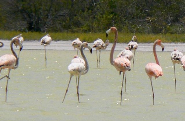
The national park was created in 1983 and covers about 550 square kilometres of land and sea between the mouth of the Yaque del Norte, the longest river in the country, and the Haitian frontier, with extensions eastwards towards Punta Rucia. It is the driest part of Hispaniola, in the rain shadow of the northern mountains, with some 600 millimetres of rain a year and much less in places, and the land is a thorny scrub of cacti, acacias, guayacán and frangipani, grazed by goats, whose meat, fed on wild oregano, is the local speciality. El Morro is a limestone mesa 237 metres high, shaped, as everyone says, like a sleeping camel, rising sheer from the sea at the end of a low isthmus; Columbus noted it on his first voyage in January 1493 and named it Monte Christi. Around the river delta and the bay spreads one of the largest and best-preserved mangrove forests in the country, of red, black, white and button mangrove, threaded with channels and lagoons, the nursery of the local fishery and the home of American crocodiles, in small numbers, manatees, reported now and then, and great numbers of herons, egrets, ibis, roseate spoonbills, pelicans, frigatebirds and, in the salt lagoons, flamingos.
Offshore, the Cayos Siete Hermanos, the seven brothers, are seven low, uninhabited coral islets of sand and scrub, ringed by reefs and sandbanks, on which thousands of seabirds nest in spring and early summer, brown and bridled terns, sooty terns, noddies and boobies, and where turtles lay; the waters hold some of the healthiest coral in the Dominican Republic and the wrecks of colonial galleons. The salt pans behind the town, worked by hand as they have been for centuries, glitter white and pink. The town itself, laid out in the nineteenth century when it grew rich exporting timber and logwood, has wooden Victorian houses, a clock tower brought from France in 1895, and the house in which, in March 1895, Máximo Gómez and José Martí signed the Manifesto of Montecristi, the programme of Cuban independence, before sailing for Cuba.
The park can be visited all year. It is hot and dry in every season, 30 to 34 degrees, with the little rain falling mostly in May and from October to December; the trade wind, the brisa, blows hard most afternoons, so that boat trips are best made in the morning, when the sea is calm, and may be cancelled when it is not. The seabirds nest on the cays from about April to July.
February is carnival, when the town's streets are given over to the Toros and the Civiles, masked men who fight one another with whips. Allow a full day from Puerto Plata, better a night in town. Punta Rucia and the sandbank of Cayo Arena are an hour and a half east, the border market of Dajabón forty minutes south, and Puerto Plata two and a half hours.
Yes. GetYourGuide lists 3 tickets and tours for Monte Cristi National Park, with live dates and prices and free cancellation on most of them.
A small park fee is charged.
Allow a full day from Puerto Plata, better a night in town.
Monte Cristi National Park covers 550 km².
Monte Cristi National Park was established in 1983.
Monte Cristi National Park is in Dominican Republic. The map on this page shows the exact spot.
Dominican Republic
Los Haitises is the mangrove and karst park on the southern shore of Samaná Bay in the north-east of the Dominican…
107 tickets & tours
Dominican Republic
Pico Isabel de Torres is the flat-topped green mountain that rises directly behind the city of Puerto Plata, on the…
3 tickets & tours
Dominican Republic
Jaragua is in the deep south-west of the Dominican Republic, the driest, emptiest and least touristy corner of the…
2 tickets & tours
Dominican Republic
Los Tres Ojos, the three eyes, is a group of underground lakes in a collapsed limestone cavern in the eastern suburbs…
2 tickets & tours
Dominican Republic
Cotubanama, which until 2014 was called the National Park of the East, occupies the blunt peninsula at the…
1 ticket or tour