Scandola Nature Reserve
France
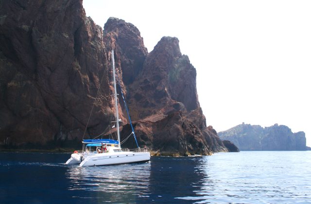
Scandola is the red-rock peninsula on the west coast of Corsica, and the reserve is closed to walkers and to anchoring,…
17 tickets & tours

Photo: kallerna, CC BY-SA 4.0
The Verdon gorge is the deepest and most spectacular river canyon in France, in the hills of Haute-Provence between the Riviera and the Alps, about two hours by road from Nice, Aix-en-Provence or Marseille, and the regional park that surrounds it has no gates and no fee; it is inhabited countryside, explored from the villages of Moustiers-Sainte-Marie at the western end, Castellane at the eastern, and La Palud-sur-Verdon in the middle. There are three ways to take it in. By car, two famous roads follow the rims: on the north, the D952 with the Route des Crêtes, a loop of twenty-three kilometres from La Palud past fourteen belvederes, from which vultures are seen at eye level, and on the south the Corniche Sublime, with the Balcons de la Mescla and the Artuby bridge, where bungee jumpers leap 182 metres;
each takes half a day, on narrow roads that are crowded in August. On the water: at the Pont du Galetas, where the river leaves the canyon and enters the Lac de Sainte-Croix, electric boats, pedalos, canoes and kayaks are rented by the hour to paddle up between the cliffs on flat, turquoise water, the classic family outing, and upstream from Castellane, rafting, canyoning and the randonnée aquatique, a guided water hike in which clients in wetsuits, helmets and life jackets walk, float, swim and jump their way down a section of the river, are sold by licensed guides, in family versions at the Pont de Tusset and sportier ones in the Couloir Samson, on days when the electricity company releases water. On foot: the Sentier Blanc-Martel, the great hike of the gorge.
Live dates and prices from GetYourGuide. Free cancellation on most tickets.
The regional natural park was created in 1997 and covers about 1,880 square kilometres in forty-six communes of the departments of Alpes-de-Haute-Provence and Var, around the middle and lower course of the Verdon, a river that rises in the Alps near the Col d'Allos and runs 175 kilometres to the Durance. Between Castellane and the lake of Sainte-Croix it has cut, through limestone plateaux of Jurassic age, a canyon about twenty-five kilometres long and up to 700 metres deep, whose walls in places stand only six metres apart at the bottom and a couple of hundred at the top, and whose water, coloured by minerals and microscopic algae, is the milky blue-green from which the river takes its name. Although shepherds and boxwood cutters had always known parts of it, the gorge was first explored from end to end only in August 1905, by an expedition led by Édouard-Alfred Martel, the founder of French speleology, with the local schoolmaster Isidore Blanc, in three days of wading, capsizing and carrying their folding boats;
the path named after them, laid out by the Touring Club in 1928, follows the bottom of the gorge for about sixteen kilometres from the Chalet de la Maline to the Point Sublime, six to seven hours, with iron staircases of some 250 steps at the Brèche Imbert and two unlit tunnels, for which a torch is needed, and a shuttle bus or taxi back. Five dams built between 1929 and 1975 tamed the river and created a chain of lakes, of which Sainte-Croix, filled in 1974, is the largest, 2,200 hectares, having drowned the village of Les Salles; the flow in the gorge now depends on releases from the Chaudanne dam. Griffon vultures, reintroduced at Rougon from 1999, now number several hundred, with black and Egyptian vultures, golden eagles, peregrines and wallcreepers; the cliffs are among the finest limestone climbing in Europe. Moustiers, under a gold star hung on a chain between two crags, is famous for its faience, and the Valensole plateau to the west for lavender.
The park is open at all times; boat hire runs from about April to October, and the Route des Crêtes is closed by snow in winter, generally from November to mid-March. May, June and September are the best months, warm, clear and uncrowded, with the lavender of Valensole in flower from mid-June to mid-July; July and August are hot and extremely busy, with traffic jams on the rim roads, no parking at the Galetas bridge after ten and fire-risk closures of the trails on windy days, which are announced the evening before.
Water activities in the gorge depend on dam releases and are forbidden when the flow is high. Start the Blanc-Martel early, with two litres of water each. Allow two to three days. Moustiers, Castellane and the lake villages are the bases, the Valensole plateau half an hour west, and Nice or Aix two hours.
Yes. GetYourGuide lists 4 tickets and tours for Verdon Regional Natural Park, with live dates and prices and free cancellation on most of them.
The park is open at all times; boat hire runs from about April to October, and the Route des Crêtes is closed by snow in winter, generally from November to mid-March.
Allow two to three days.
Verdon Regional Natural Park covers 1 880 km².
Verdon Regional Natural Park was established in 1997.
Verdon Regional Natural Park is in France. The map on this page shows the exact spot.
France
Scandola is the red-rock peninsula on the west coast of Corsica, and the reserve is closed to walkers and to anchoring,…
17 tickets & tours
France
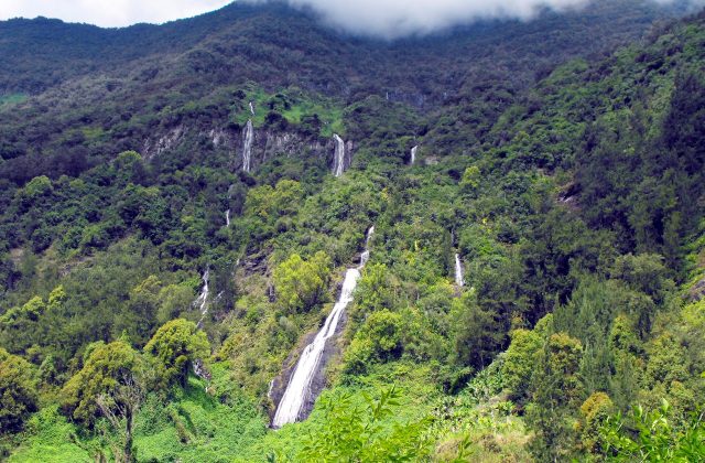
The national park covers the mountainous interior of Réunion, the French island in the Indian Ocean east of Madagascar,…
15 tickets & tours
France
The Camargue is the Rhône delta south of Arles, an hour from Avignon and Montpellier, and its regional park is visited…
14 tickets & tours
France
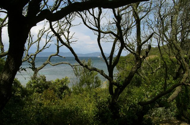
Port-Cros is one of the three Îles d'Hyères, the Golden Isles, off the coast of the Var between Toulon and…
3 tickets & tours
France
The Alpilles are a small range of jagged white limestone hills in the heart of Provence, rising abruptly from the plain…
2 tickets & tours
France
The nature reserve of the Bouches de Bonifacio covers the waters, islands and coast of the extreme south of Corsica, on…
1 ticket or tour