Scandola Nature Reserve
France
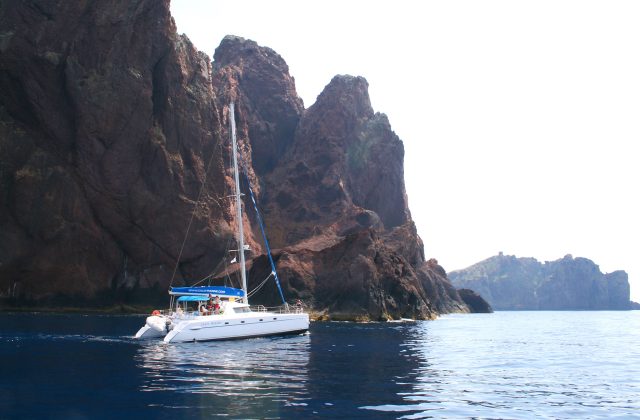
Scandola is the red-rock peninsula on the west coast of Corsica, and the reserve is closed to walkers and to anchoring,…
17 tickets & tours
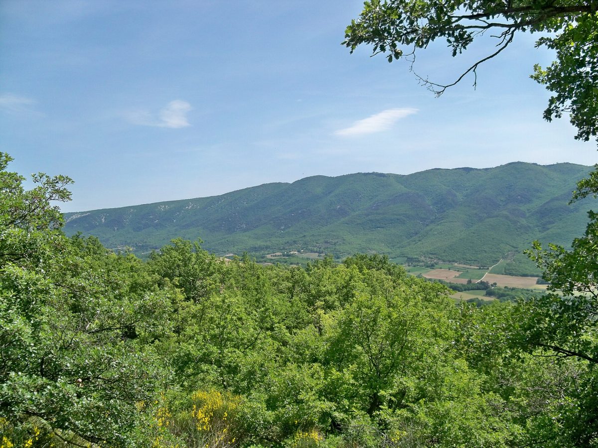
Photo: Véronique PAGNIER, CC BY-SA 3.0
The Luberon is a range of wooded limestone hills in the heart of Provence, in the south of France, running east and west for sixty kilometres between the valleys of the Calavon and the Durance, and the regional nature park that bears its name is an inhabited countryside of some 1,850 square kilometres and seventy-seven communes, the landscape of hilltop villages, vineyards, cherry orchards, lavender and stone farmhouses that the world imagines when it thinks of Provence. It lies about forty-five minutes to an hour by road east of Avignon and its high-speed railway station, an hour north of Aix-en-Provence and an hour and a quarter from Marseille airport, and since public transport is sparse, a car, or a bicycle for the energetic, is needed. There are no gates or fees. Most visitors tour the perched villages of the northern flank, each twenty minutes from the next: Gordes, piled on its rock, with the abbey of Senanque in a valley behind it;
Roussillon, built on and out of cliffs of ochre, with a marked path of half an hour or an hour through the old quarries; Menerbes, Lacoste, with the ruined castle of the Marquis de Sade, and Bonnieux, facing one another across the vines; and, on the southern side, Lourmarin, Cucuron and Ansouis. For walkers the park maintains a great number of marked paths: the cedar forest on the crest above Bonnieux, with level, shady trails and immense views; the gorge of the Aigue Brun and the fort of Buoux; the ascent of the Mourre Negre, the summit, from Auribeau or Cucuron; and the Colorado Provencal at Rustrel, a larger and wilder group of ochre quarries. Guided walks with local naturalists and producers, such as those devoted to beekeeping round the village of Saignon, above Apt, are a good way into the country. A cycleway follows the old railway along the Calavon, and a signposted circuit of 236 kilometres rings the range.
Live dates and prices from GetYourGuide. Free cancellation on most tickets.
The regional nature park was founded in 1977, among the earliest in France, as an association of communes committed to protecting their landscape and buildings while keeping the country lived in and farmed, which is the purpose of a French regional park as distinct from a national one; it has been a UNESCO biosphere reserve since 1997, together with the mountain of Lure, and a global geopark since 2004, on account of its fossil beds, which preserve, in fine limestone, the fish, insects, leaves and footprints of mammals of thirty million years ago. The range is divided by a single pass, the Combe de Lourmarin, into the Petit Luberon, to the west, a plateau cut by ravines and edged with cliffs, and the Grand Luberon, to the east, a long, rounded whaleback rising to 1,125 metres at the Mourre Negre. Its two slopes are different worlds: the southern, hot and dry, is covered with garrigue, Aleppo pine and holm oak, and the northern, cooler and damper, with downy oak, and the crest carries wind-beaten grassland and, above Bonnieux, a forest of Atlas cedars grown from seed brought from Algeria and sown in 1861, which has thrived and spread. Bonelli's eagle, the short-toed eagle, the Egyptian vulture, the eagle owl, the ocellated lizard, the largest in Europe, and some fifteen hundred species of plants, a third of the French flora, are among the natural riches.
The ochre of Roussillon and Rustrel, sands stained by iron oxides in seventeen shades from pale yellow to blood red, was quarried and refined from the late eighteenth century until the mid-twentieth, exported round the world as a pigment, and its abandoned workings have weathered into cliffs and pinnacles. The human landscape is ancient: the Pont Julien, a Roman bridge of three arches built in 3 BC on the Via Domitia, carried traffic until 2005; the hills are dotted with bories, beehive huts of dry stone built without mortar by shepherds and farmers, of which a whole hamlet survives near Gordes; and the troglodyte fort of Buoux guarded the pass from the Middle Ages. In April 1545, the villages of the southern Luberon, settled by Waldensian Protestants from the Alps, were put to fire and sword on the orders of the parliament of Aix, in a massacre of some three thousand people that shocked Europe; the ruins of old Merindol are its memorial. Albert Camus lived his last years at Lourmarin and is buried there. In 1989 an English advertising man, Peter Mayle, published A Year in Provence, an account of doing up a farmhouse near Menerbes, which sold millions of copies and changed the district for good.
The park is open all year. Spring, from April to June, is the finest season, with cherry blossom in April, poppies and wild flowers in May, and mild weather for walking and cycling; the lavender flowers from about the third week of June to the end of July, earlier on the plain and later on the plateau of Claparedes above Saignon and Bonnieux, and is cut from mid-July.
July and August are hot, 32 to 35 degrees, crowded and expensive, the village car parks are full by mid-morning, and from July to mid-September access to the forested hills is regulated day by day according to the risk of fire, and may be forbidden altogether in the afternoon or for the whole day, so that walkers must check the prefecture's map each morning. September and October bring the grape harvest, warm days and golden light. The mistral, a violent, cold, dry north wind, can blow at any season. Market days, Saturday at Apt, Friday at Lourmarin, are worth planning round. Allow three days to a week. Avignon, the Pont du Gard, the Fontaine de Vaucluse and Mont Ventoux are all within an hour.
Yes. GetYourGuide lists one ticket or tour for Luberon Regional Nature Park, with live dates and prices and free cancellation on most of them.
The park is open all year.
Allow three days to a week.
Luberon Regional Nature Park covers 1 848 km².
Luberon Regional Nature Park was established in 1977.
Luberon Regional Nature Park is in France. The map on this page shows the exact spot.
France
Scandola is the red-rock peninsula on the west coast of Corsica, and the reserve is closed to walkers and to anchoring,…
17 tickets & tours
France
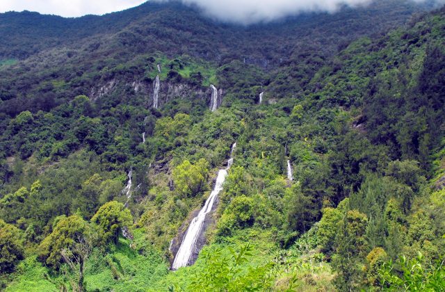
The national park covers the mountainous interior of Réunion, the French island in the Indian Ocean east of Madagascar,…
15 tickets & tours
France
The Camargue is the Rhône delta south of Arles, an hour from Avignon and Montpellier, and its regional park is visited…
14 tickets & tours
France
The Verdon gorge is the deepest and most spectacular river canyon in France, in the hills of Haute-Provence between the…
4 tickets & tours
France
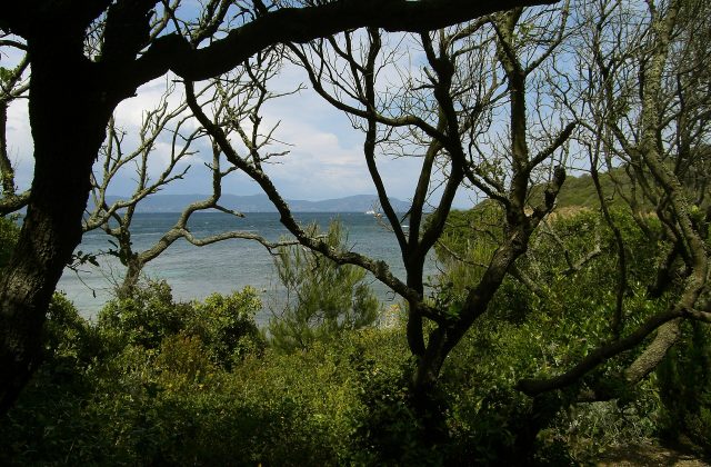
Port-Cros is one of the three Îles d'Hyères, the Golden Isles, off the coast of the Var between Toulon and…
3 tickets & tours
France
The Alpilles are a small range of jagged white limestone hills in the heart of Provence, rising abruptly from the plain…
2 tickets & tours