Gran Paradiso National Park
109 km away
Gran Paradiso is the oldest national park in Italy and the best place in the Alps to see ibex at close quarters, a high…
1 ticket or tour
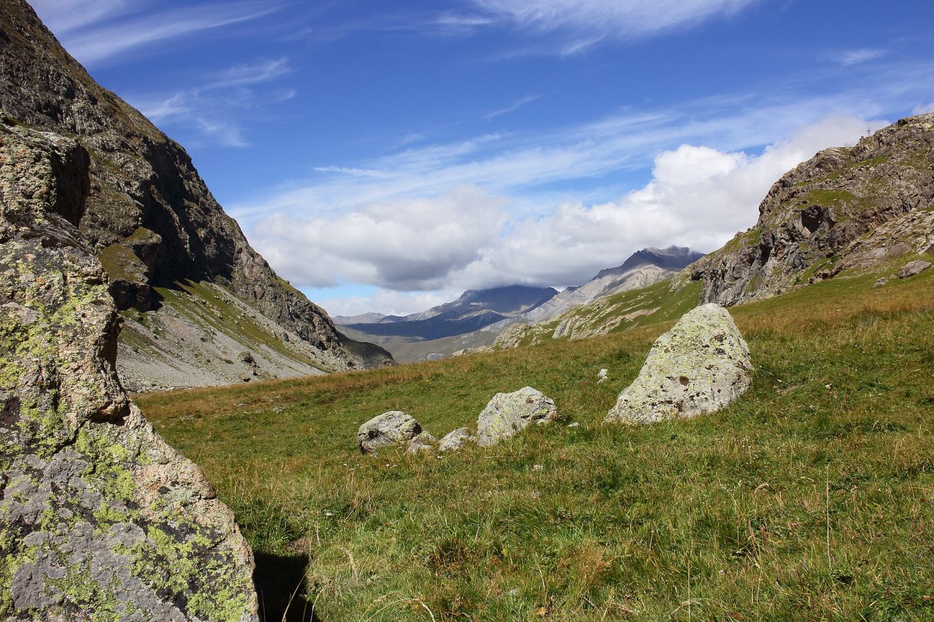
Photo: Dominicus Johannes Bergsma, CC BY-SA 3.0
The Ecrins is the great high-mountain park of the French Alps, a compact, savage massif of glaciers and granite peaks between Grenoble, Briancon and Gap, in the departments of Isere and Hautes-Alpes, and it is a park for walkers and mountaineers, since no road crosses it and no cable car enters its core. Seven valleys penetrate it from all sides, each a cul-de-sac with a village, a park information centre and a roadhead from which the paths begin, and one chooses among them. On the eastern side, reached from Briancon in half an hour, the Vallouise leads to the hamlet of Ailefroide and on to the Pre de Madame Carle, a flat of gravel and larches at 1,874 metres, the most frequented trailhead in the park, from which a well-made path climbs in two to two and a half hours to the refuge of the Glacier Blanc, facing the ice, and another follows the crest of a moraine beside the debris-covered Glacier Noir.
On the western side, from Bourg d'Oisans, an hour and a half from Grenoble, the wild valley of the Veneon led to the mountaineers' hamlet of La Berarde, which was largely destroyed by a torrent of rock and water in June 2024, access beyond the lower villages remaining restricted; the blue-green lake of Lauvitel, an hour and a half's walk from La Danchere, is unaffected. From the south, the remote valleys of Valgaudemar, which has been called the most Himalayan in France, Champsaur, Valjouffrey and the Embrun side offer quieter walking to lakes and refuges. At La Grave, on the northern edge, a cable car outside the park climbs to 3,200 metres opposite the north face of the Meije. The park is free, dogs are forbidden in the core even on a lead, and some forty staffed refuges allow tours of several days, the grandest being the circuit of the whole massif by the GR54.
The national park was created in 1973, on the foundation of a small reserve established in the upper Veneon as early as 1913, and its core covers about 918 square kilometres, between 800 and 4,102 metres, with a surrounding zone of 1,800 square kilometres in which some sixty villages lie. It contains more than a hundred and fifty summits above three thousand metres and about ten thousand hectares of glaciers, the most southerly large glaciers of the Alps, which have lost more than a third of their area in fifty years: the Glacier Blanc, the largest, has retreated by over a kilometre since the 1980s, and the park's scientists measure it each year. The Barre des Ecrins, 4,102 metres, is the most southerly four-thousander of the Alps and was, until Savoy and Mont Blanc became French in 1860, the highest mountain in France; it was first climbed in June 1864 by the Englishmen Edward Whymper, Adolphus Moore and Horace Walker with the guides Christian Almer and Michel Croz. Its neighbour the Meije, 3,984 metres, a jagged wall above La Grave, resisted every attempt, including Whymper's, and was the last great summit of the Alps to be climbed, in August 1877, by a young Frenchman, Emmanuel Boileau de Castelnau, with the local guide Pierre Gaspard and his son, a triumph celebrated in France as a national victory.
The massif is a knot of ancient crystalline rock, granite and gneiss, wrapped in younger sediments, and because it stands where the influences of the wet northern Alps and the dry, sunny southern Alps meet, its flora is exceptionally rich, more than 1,800 species, from lavender and downy oak on the southern slopes to the glacier buttercup at over four thousand metres. The most celebrated is the queen of the Alps, a thistle-like sea holly with a ruff of steel-blue bracts, of which the valley of the Fournel, above L'Argentiere, holds the largest population in the whole range. Larch woods, golden in October, Swiss stone pine, beech and fir clothe the lower slopes. The chamois is abundant, some fifteen thousand strong; the ibex, exterminated centuries ago, was reintroduced between 1989 and 1995 and has prospered; marmots, mountain hares, stoats and, since the late 1990s, wolves, which have come of their own accord from Italy, are present; and the birds include about forty pairs of golden eagles, the bearded vulture, returning after reintroduction elsewhere in the Alps, the ptarmigan, the black grouse, the rock partridge and Tengmalm's owl. The valleys, poor, isolated and emptied by emigration in the nineteenth century, keep their stone hamlets, chapels, sundials and irrigation channels, and transhumant flocks from Provence still summer on the high pastures, guarded by large white dogs that walkers should pass at a distance.
The park is open all year, but the season for walking is from mid-June to the end of September, when the refuges are staffed and the high paths are largely free of snow; passes above 2,500 metres may hold snow into July. July and August are the warmest and busiest months, with afternoon thunderstorms, and the car park at the Pre de Madame Carle fills early in the morning; late June and early July are best for flowers, and September for clear, stable weather and empty trails, followed in October by the colours of the larches.
In winter the valley roads are closed above the villages and the park is the domain of ski tourers, snowshoers and ice climbers, for which the Fournel and Freissinieres valleys are famous, with a high risk of avalanches. Violent storms and torrents are a growing hazard, as the disaster at La Berarde showed, and the state of the roads and paths should be checked at the park's information centres. Glacier travel requires a guide and equipment. Allow three days to a week. Briancon, a fortified town of Vauban on the World Heritage list, is the base for the eastern side, the lake of Serre-Poncon lies to the south, and Grenoble is an hour and a half from Bourg d'Oisans.
109 km away
Gran Paradiso is the oldest national park in Italy and the best place in the Alps to see ibex at close quarters, a high…
1 ticket or tour
115 km away
The Verdon gorge is the deepest and most spectacular river canyon in France, in the hills of Haute-Provence between the…
4 tickets & tours
129 km away
The Luberon is a range of wooded limestone hills in the heart of Provence, in the south of France, running east and…
1 ticket or tour
No online tour for Ecrins National Park is listed on GetYourGuide; entry, where it is charged, is paid at the gate or through the park authority. Nearby parks with bookable tours are listed on this page.
The park is open all year, but the season for walking is from mid-June to the end of September, when the refuges are staffed and the high paths are largely free of snow; passes above 2,500 metres may hold snow into July.
Allow three days to a week.
Ecrins National Park covers 918 km².
Ecrins National Park was established in 1973.
Ecrins National Park is in France. The map on this page shows the exact spot.
France
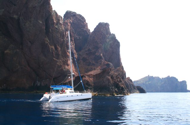
Scandola is the red-rock peninsula on the west coast of Corsica, and the reserve is closed to walkers and to anchoring,…
17 tickets & tours
France
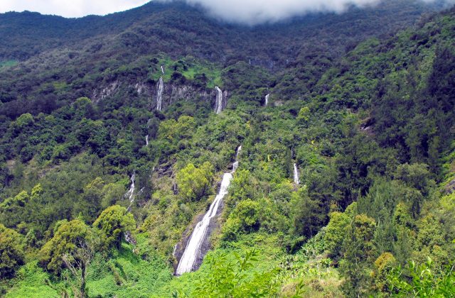
The national park covers the mountainous interior of Réunion, the French island in the Indian Ocean east of Madagascar,…
15 tickets & tours
France
The Camargue is the Rhône delta south of Arles, an hour from Avignon and Montpellier, and its regional park is visited…
14 tickets & tours
France
The Verdon gorge is the deepest and most spectacular river canyon in France, in the hills of Haute-Provence between the…
4 tickets & tours
France
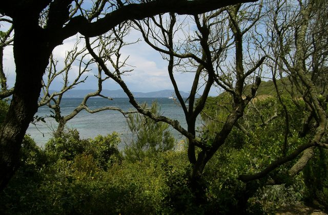
Port-Cros is one of the three Îles d'Hyères, the Golden Isles, off the coast of the Var between Toulon and…
3 tickets & tours
France
The Alpilles are a small range of jagged white limestone hills in the heart of Provence, rising abruptly from the plain…
2 tickets & tours