Ordesa y Monte Perdido National Park
26 km away
Ordesa y Monte Perdido lies in the central Pyrenees, in the province of Huesca in Aragon, in the north of Spain,…
4 tickets & tours

Photo: W. Bulach, CC BY-SA 4.0
The Pyrenees National Park is a long, narrow strip of high mountain running for a hundred kilometres along the French side of the frontier with Spain, in the departments of Hautes-Pyrenees and Pyrenees-Atlantiques, and it is not to be confused with the Spanish parks of Ordesa and Aiguestortes across the border, to which the day hikes sold from Barcelona go. Its gateways are Lourdes and Tarbes, which share an airport, and Pau, all an hour or so from the trailheads and linked to Paris and Toulouse by train; from them roads run up six parallel valleys, Aspe, Ossau, Azun, Cauterets, Luz-Gavarnie and Aure, each ending at a car park from which the walking begins, and each with a park information house. There are no gates and no fees, only charges for some car parks and lifts. Three sites draw most visitors.
The Cirque de Gavarnie, at the head of the Luz valley, is reached from the village of Gavarnie by a broad, nearly level track, an hour to an hour and a half each way, on foot or on a hired pony or donkey, to the old hotel at the foot of the wall, and another half hour to the base of the great waterfall. The Pont d'Espagne, above the spa town of Cauterets, is a stone bridge over a cascade from which a path of an hour, or a chairlift and a fifteen-minute stroll, leads to the Lac de Gaube, a lake mirroring the north face and glacier of the Vignemale. In the Ossau valley, the little open train of Artouste, the highest narrow-gauge line in Europe, runs along a ledge at two thousand metres, and the tour of the lakes of Ayous gives the classic view of the Pic du Midi d'Ossau. Walkers with more ambition climb to the Breche de Roland from the Col de Tentes, stay in the staffed refuges, or follow the GR10 and the high-level route. Dogs are forbidden in the core, even on a lead.
Live prices from GetYourGuide for tours whose route includes this park. Free cancellation on most of them.
The park was created in 1967, the third of the French national parks, and its core covers 457 square kilometres, between about 1,000 and 3,298 metres, the height of the Vignemale, the highest summit of the French Pyrenees, which carries the largest glacier on this side of the range; a much larger peripheral zone includes the villages of the valleys, and along fifteen kilometres it adjoins the Spanish park of Ordesa and Monte Perdido, with which it forms the World Heritage Site of Pyrenees-Mont Perdu, inscribed in 1997 for both nature and the pastoral culture that still uses the high pastures in summer. Its masterpiece is Gavarnie, a natural amphitheatre of limestone scooped out by glaciers, some six kilometres round the rim, whose walls rise in three tiers, separated by ledges of perpetual snow, for fifteen hundred metres to a crown of summits over three thousand; Victor Hugo called it the colosseum of nature. Down it falls the Grande Cascade, 423 metres, the highest waterfall in mainland France, the source of the Gave de Pau. In the crest above is the Breche de Roland, a clean rectangular gap forty metres wide and a hundred high, which legend says the dying paladin cut with his sword Durandal in trying to break it after the defeat of Roncesvalles.
The neighbouring cirques of Troumouse, which is wider still, and Estaube are far less visited. The discovery of these mountains belongs to the nineteenth century, when the spa towns of Cauterets, Luz and Bareges filled with romantic travellers, and to the eccentric Count Henry Russell, who climbed the Vignemale thirty-three times, had caves blasted near its summit in which he gave dinners, and leased the mountain from the commune for ninety-nine years at one franc a year. The park holds the isard, the Pyrenean chamois, which was nearly hunted out and now numbers several thousand, marmots, which were introduced from the Alps in 1948, the Iberian ibex, brought back from Spain in 2014 after the native race became extinct in 2000, the bearded vulture, the griffon, the Egyptian vulture, the golden eagle, the capercaillie, the ptarmigan, and two curiosities found only in these mountains and northern Iberia, the desman, a small aquatic mole with a trunk-like snout, and the Pyrenean brook newt. A few brown bears, descended from animals brought from Slovenia since 1996, live in the western valleys, to the fury of the shepherds. Among the flowers are the Pyrenean iris, the ramonda and the saxifrage that flowers once and dies.
The park is open all year. The walking season runs from June to October: June has waterfalls at their fullest and flowers, with snow lingering on the passes and the higher paths until July; July and August are warm and the busiest, with afternoon thunderstorms and Gavarnie and the Pont d'Espagne crowded by midday; September is settled, clear and quiet, and early October brings autumn colour and the first snow. Refuges are staffed from about June to September and should be booked.
From December to April the valleys turn to snowshoeing, ski touring and the ski stations at the park's edge, and the roads to Troumouse, the Col de Tentes and the high passes are closed. Start early, carry a waterproof and warm layer, and check the mountain forecast. Allow three to five days. Lourdes is forty-five minutes from Cauterets, the Pic du Midi de Bigorre observatory and the Col du Tourmalet near Luz, and Pau an hour from the Ossau valley.
26 km away
Ordesa y Monte Perdido lies in the central Pyrenees, in the province of Huesca in Aragon, in the north of Spain,…
4 tickets & tours
213 km away
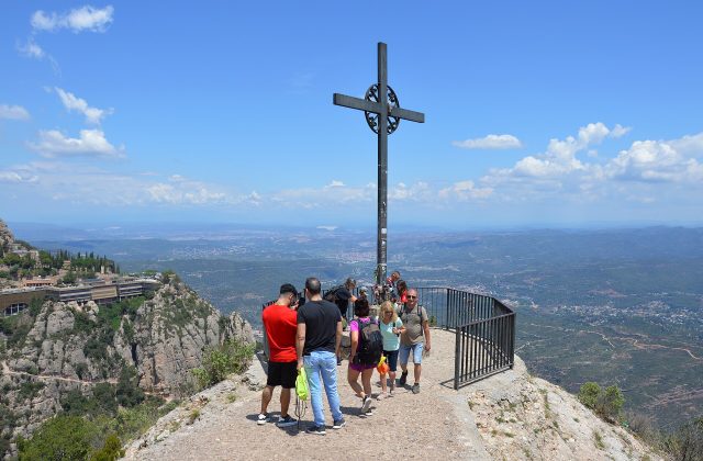
Montserrat is the serrated mountain an hour north-west of Barcelona with the Benedictine abbey on its flank, and the…
14 tickets & tours
259 km away
The Ebro Delta is the great flat triangle of rice fields, lagoons and empty beaches that the longest river wholly…
3 tickets & tours
Yes. GetYourGuide sells tickets and guided tours whose route includes Pyrenees National Park; live prices are shown on this page.
The park is open all year.
Allow three to five days.
Pyrenees National Park covers 457 km².
Pyrenees National Park was established in 1967.
Pyrenees National Park is in France. The map on this page shows the exact spot.
France
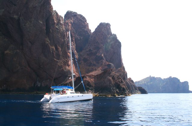
Scandola is the red-rock peninsula on the west coast of Corsica, and the reserve is closed to walkers and to anchoring,…
17 tickets & tours
France
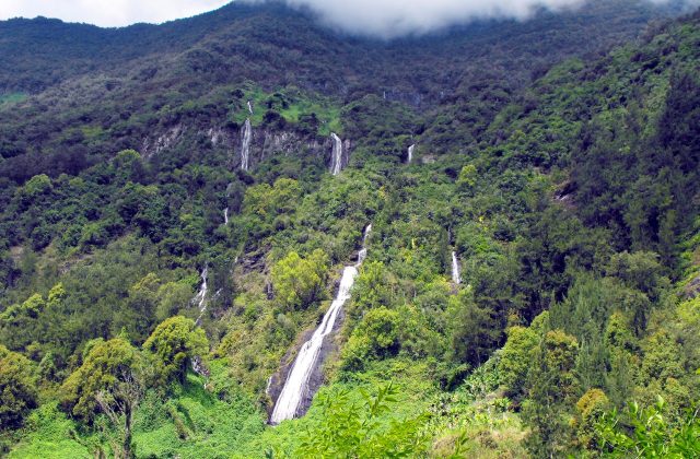
The national park covers the mountainous interior of Réunion, the French island in the Indian Ocean east of Madagascar,…
15 tickets & tours
France
The Camargue is the Rhône delta south of Arles, an hour from Avignon and Montpellier, and its regional park is visited…
14 tickets & tours
France
The Verdon gorge is the deepest and most spectacular river canyon in France, in the hills of Haute-Provence between the…
4 tickets & tours
France
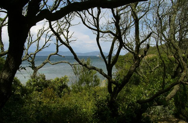
Port-Cros is one of the three Îles d'Hyères, the Golden Isles, off the coast of the Var between Toulon and…
3 tickets & tours
France
The Alpilles are a small range of jagged white limestone hills in the heart of Provence, rising abruptly from the plain…
2 tickets & tours