Tijuca National Park
Brazil
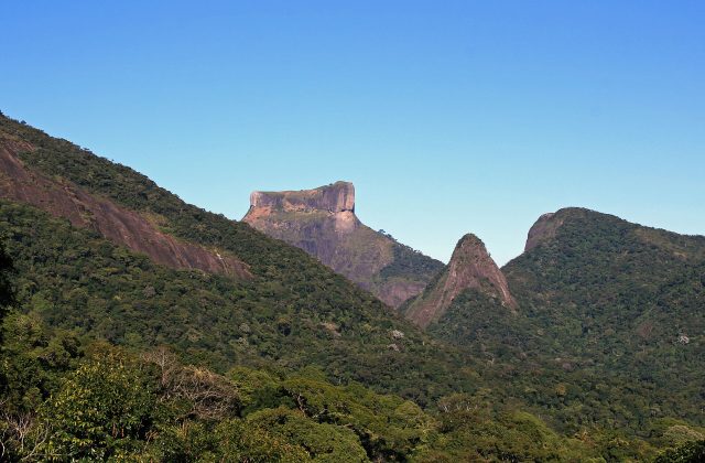
Tijuca is the rainforest inside the city of Rio de Janeiro, and it is visited on half-day and full-day tours from the…
30 tickets & tours

Photo: No machine-readable author provided. Arria Belli assumed (ba, CC BY 2.5
The Tumucumaque Mountains National Park lies in the far north of Brazil, in the state of Amapa, with a small part in Para, along the frontiers of French Guiana and Suriname, and it is the largest national park of tropical rainforest in the world, a region larger than Belgium in which there are no roads, no towns and almost no people. It is, accordingly, scarcely visited, a few hundred people in a good year, and there is nothing resembling ordinary tourism. Entry requires an authorisation from the federal institute that manages Brazil's protected areas, requested in advance with details of the route and the party, and it is granted for a small number of defined areas only. There are two approaches.
The more usual is from the south-east, through the little town of Serra do Navio, a former manganese mining settlement built by an American company in the 1950s, which lies some two hundred kilometres, four to five hours by road, partly unsurfaced, north-west of Macapa, the state capital on the mouth of the Amazon, which has flights from Belem and Brasilia: from Serra do Navio one travels by aluminium boat with an outboard motor up the Amapari river, for four to six hours according to the water level, hauling the boat through rapids when the river is low, to a rustic base, with platforms for hammocks, at the park's edge, from which guided walks are made through the forest, to streams, rapids and rock outcrops, and the nights are spent in hammocks under tarpaulins. The other is from the town of Oiapoque, on the French Guianan border, up the Oiapoque river to the remote military and indigenous outpost of Vila Brasil, at the park's northern limit. Both are expeditions of several days, organised through a handful of guides and small operators in Macapa and Serra do Navio, with all food and equipment carried in, and they demand fitness, patience and a tolerance of heat, rain and insects.
The national park was created by decree on 22 August 2002, on the eve of the world summit on sustainable development at Johannesburg, where President Fernando Henrique Cardoso announced it, and covers 38,874 square kilometres, an area greater than that of Belgium or Switzerland; together with the indigenous territories, extractive reserves and other parks that adjoin it in Brazil, and the Amazonian park of French Guiana on the other side of the border, it forms part of one of the largest continuous blocks of protected tropical forest on the planet, more than a hundred thousand square kilometres. It lies on the Guiana shield, one of the oldest pieces of the earth's crust, a platform of granite and gneiss some two thousand million years old, worn down to a rolling upland at two to seven hundred metres, from which rise isolated domes and ridges of bare rock, the inselbergs, which stand above the canopy like islands and carry a peculiar flora of bromeliads, orchids and cacti adapted to heat and drought. The Tumucumaque mountains, whose name in the language of the Apalai and Wayana peoples is said to mean the rock on top of the mountain, in allusion to the struggle between a shaman and the spirits, form the watershed between the rivers that flow north to the Atlantic through the Guianas and those that flow south to the Amazon, and the Oiapoque, the Jari and the Araguari all rise in the park, breaking through the old rocks in innumerable rapids and waterfalls, which have always made them nearly impossible to navigate.
That, together with the distance from any centre of population and the poverty of the soils, is the reason why this forest is among the least altered on earth: almost the whole of it is tall, dense, evergreen upland rainforest that has never been logged, mined, farmed or crossed by a road. Scientific knowledge of it is still fragmentary, the first systematic biological expeditions having been made only after 2004, by helicopter, and each of them has found species of fish, frogs, lizards and plants new to science. It is known to shelter the jaguar, the puma, the giant otter, the giant anteater, the giant armadillo, the lowland tapir, eight or more species of monkeys, among them the black spider monkey and the white-faced saki, the harpy eagle, the Guianan cock-of-the-rock, whose brilliant orange males display on leks near the rock outcrops, macaws, toucans and curassows. No one lives permanently within the park; the Wayana, Apalai, Tiriyo and Wayampi peoples inhabit large indigenous territories on its western and southern borders, and the Wayampi in particular have long hunted and travelled in what is now the park. The chief threat is the illegal gold diggers, the garimpeiros, many of them working across the border rivers from French Guiana and Suriname, who pollute the streams with mercury and whom the army and the park's few staff, responsible for an immense area, struggle to contain.
The climate is equatorial, hot, 24 to 32 degrees, and very wet, with more than two and a half metres of rain a year. The rainy season runs from about December or January to July, with the heaviest rain from February to May, when the rivers are high, the rapids drowned and travel by boat is quicker, but the forest is flooded in places, the trails are waterlogged and it rains for hours each day; the drier season, from about August to November, brings lower water, which means hauling the boats over rocks and longer journeys, but also sandy beaches for camping, clearer streams, easier walking and more chance of seeing animals on the banks.
September and October are generally considered the best months. Vaccination against yellow fever, precautions against malaria and leishmaniasis, a hammock with a mosquito net, long, light clothing, rubber boots and a good repellent are essential, and any medical emergency would mean a long evacuation by river. Allow five to seven days from Macapa, where the great Portuguese fortress of Sao Jose and the monument on the line of the equator are the sights.
No online tour for Tumucumaque Mountains National Park is listed on GetYourGuide; entry, where it is charged, is paid at the gate or through the park authority. Nearby parks with bookable tours are listed on this page.
Allow five to seven days from Macapa, where the great Portuguese fortress of Sao Jose and the monument on the line of the equator are the sights.
September and October are generally considered the best months.
Tumucumaque Mountains National Park covers 38 874 km².
Tumucumaque Mountains National Park was established in 2002.
Tumucumaque Mountains National Park is in Brazil. The map on this page shows the exact spot.
Brazil
Tijuca is the rainforest inside the city of Rio de Janeiro, and it is visited on half-day and full-day tours from the…
30 tickets & tours
Brazil
Lençóis Maranhenses is the field of white dunes and rainwater lagoons on the coast of Maranhão in north-eastern Brazil,…
12 tickets & tours
Brazil
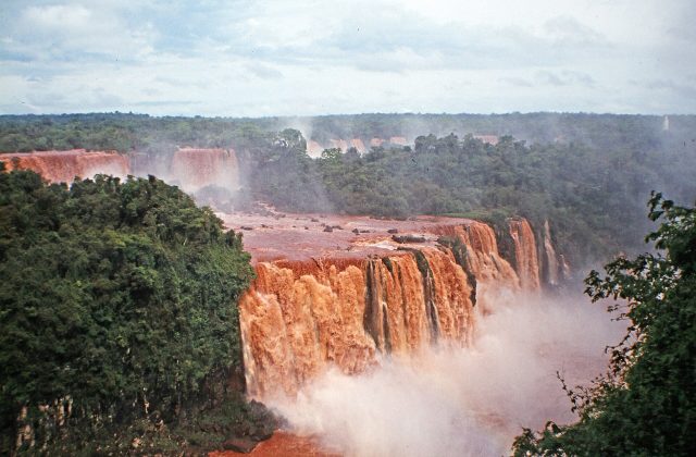
Iguaçu National Park is the Brazilian side of the falls at Foz do Iguaçu, and its visit is one walk: the entrance…
9 tickets & tours
Brazil
The Serra dos Órgãos is the mountain range that closes the northern horizon of Guanabara Bay, whose granite needles are…
5 tickets & tours
Brazil
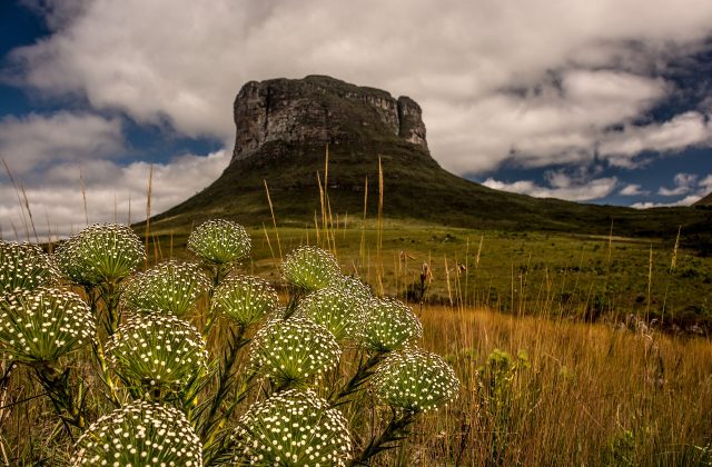
The Chapada Diamantina is a range of table mountains, canyons, waterfalls and caves in the dry interior of the…
3 tickets & tours
Brazil
Itatiaia is the oldest national park in Brazil, in the Mantiqueira mountains on the border of the states of Rio de…
3 tickets & tours