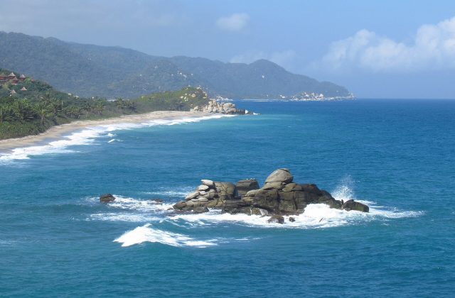
Rosario and San Bernardo Corals National Park
285 km away
The Corales del Rosario y San Bernardo is a marine park off the Caribbean coast of Colombia, protecting the coral reefs…
97 tickets & tours
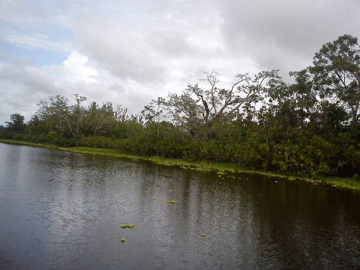
Photo: johanchaves, CC BY-SA 3.0
Los Katios lies in the far north-western corner of Colombia, against the border of Panama, on the left bank of the lower Atrato river, and it is the Colombian counterpart of Panama's Darien park, with which it forms a single block of forest across the notorious gap in the Pan-American Highway. It is one of the least visited national parks in the country, and for many years it was closed to the public altogether. The region has long been a corridor for armed groups and drug traffickers, and in recent years the towns on the gulf of Uraba have become the starting point for hundreds of thousands of migrants attempting the crossing of the Darien on foot, so that foreign governments generally advise against travel to the area, and the first step for anyone interested must be to ask the national parks office, in Bogota or in the town of Turbo, whether the park is open and on what conditions.
When it is, the visit is an expedition by water. There are no roads. One flies or travels by bus to Turbo or to Apartado, in the banana-growing zone of Uraba, an hour's flight from Medellin, and continues by motor launch across the gulf of Uraba and up one of the mouths of the Atrato, through a maze of channels and swamps, for three to four hours, to the park's administrative centre at Sautata, on the site of a former sugar estate, where there are simple cabins for visitors and rangers who act as guides. From Sautata, trails lead through the forest to the waterfalls of Tilupo, reached in about three hours' walking, and Tendal, and boat trips explore the marshes of Tumarado, where the birds and the caimans are. A permit from the parks authority, a yellow fever vaccination and complete self-sufficiency are required. A few specialised operators in Medellin and Capurgana have from time to time offered organised trips.
The national park was created in 1974 and enlarged in 1980 to 720 square kilometres, and was inscribed as a World Heritage Site in 1994; from 2009 to 2015 it was placed, at Colombia's own request, on the list of World Heritage in danger, because of illegal logging, unauthorised settlement and the insecurity that prevented its management, and it was removed when control was re-established. It takes its name from the Katio, an Embera-speaking people who formerly inhabited the area, though the indigenous groups nearest to it today are the Guna, in the reserves of Arquia and Caiman Nuevo, and Embera communities along the rivers, beside the Afro-Colombian population of the Atrato. The park consists of two quite different halves. To the west rise the wooded hills of the Serrania del Darien, reaching about six hundred metres on the Panamanian frontier, covered with tall rainforest and cut by clear streams that drop over waterfalls, of which Tilupo, where the water falls about a hundred metres down a rock face among the trees, is the finest. To the east lies the flood plain of the Atrato, one of the rainiest river basins on earth and, for its length, one of the largest rivers in the world by volume, which here spreads out into a vast complex of marshes, lagoons and channels, the cienagas of Tumarado, covered with floating meadows, with stands of a giant arum that grows four metres tall, and with a swamp forest dominated by the cativo, a tree whose timber has been heavily exploited everywhere else.
The importance of the place is geographical. The isthmus of Panama, which rose from the sea some three million years ago, was the bridge across which the animals of North and South America, until then entirely distinct, invaded each other's continents, in what is called the great American interchange, and this corner of Colombia is the South American end of that bridge, where the faunas still meet; it is also a fragment of the Choco, the wet Pacific forest that is one of the richest regions on the planet for species found nowhere else. In a small area it holds a quarter of all the bird species of Colombia, some 450, among them the harpy eagle, the great curassow, macaws and toucans, and several Central American species that occur nowhere else in South America, together with about 550 species of vertebrates in all, including the jaguar, the giant anteater, Baird's tapir, here at the southern limit of its range, the bush dog, the West Indian manatee in the lagoons, the American crocodile and the spectacled caiman, and howler, spider and capuchin monkeys. The proposal, revived every few years, to close the Darien gap by driving the highway through the marshes of the Atrato is the most serious long-term threat to the park, together with the pressure of the migrant route along its edge.
The climate is hot, 27 to 32 degrees, and extremely humid throughout the year, with between two and a half and four metres of rain. There is a relatively dry season from about December to March or April, which is the practical time for a visit, when the trails to the waterfalls are passable, the marshes shrink, concentrating the birds and caimans, and the sea crossing of the gulf is calmer; from May to November heavy rain falls almost daily, the forest floods, the trails become quagmires and the launches face rough water in the gulf.
Malaria and other insect-borne diseases are present, and prophylaxis, repellent, long clothing and a mosquito net are essential. Bring rubber boots, waterproof bags, a torch, a water filter and all necessary medicines, since the nearest medical help is hours away by boat. The security situation can change quickly and must be checked immediately before travelling. Allow four to five days from Medellin. The Caribbean villages of Capurgana and Sapzurro, on the other side of the gulf, offer an easier taste of the Darien forest.
285 km away
The Corales del Rosario y San Bernardo is a marine park off the Caribbean coast of Colombia, protecting the coral reefs…
97 tickets & tours
295 km away
The Parque Natural Metropolitano is a tract of tropical forest inside the limits of Panama City, ten to fifteen minutes…
2 tickets & tours
310 km away
Soberania is a tract of lowland rainforest along the eastern bank of the Panama Canal, beginning only twenty-five…
2 tickets & tours
No online tour for Los Katios National Park is listed on GetYourGuide; entry, where it is charged, is paid at the gate or through the park authority. Nearby parks with bookable tours are listed on this page.
Allow four to five days from Medellin.
Los Katios National Park covers 720 km².
Los Katios National Park was established in 1974.
Los Katios National Park is in Colombia. The map on this page shows the exact spot.
Colombia
The Corales del Rosario y San Bernardo is a marine park off the Caribbean coast of Colombia, protecting the coral reefs…
97 tickets & tours
Colombia
Tayrona is the park of jungle-backed beaches east of Santa Marta on Colombia's Caribbean coast, an hour from the…
19 tickets & tours
Colombia
Chicamocha National Park, universally known by its acronym Panachi, is not a national park in the conservation sense at…
4 tickets & tours
Colombia
Chingaza is the high páramo in the eastern Andes just behind Bogotá, only about fifty kilometres from the city by way…
4 tickets & tours
Colombia
Chicaque is a privately owned cloud-forest reserve on the south-western rim of the high plateau on which Bogotá stands,…
3 tickets & tours
Colombia
Los Nevados is the high volcanic crest of the Cordillera Central of Colombia, rising directly above the coffee region,…
2 tickets & tours